Tennessee Landforms -- waterfalls| WGS84 |
| 35.189690 | -85.282600 |
| 35° 11.381'N | 85° 16.956'W |
| 35° 11' 22.9"N | 85° 16' 57.4"W |
| 16S 656361E 3895430N |
| convert to NAD27 |
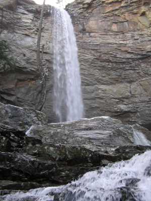
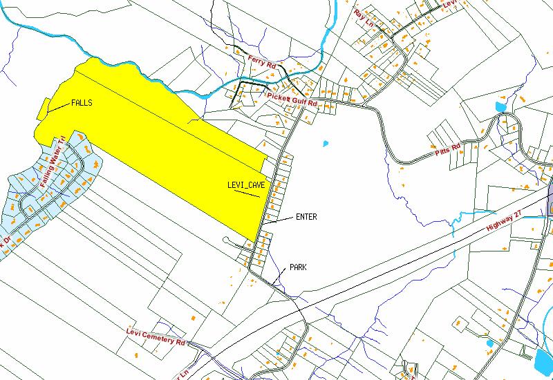
Falling Water Falls 110'
Waypoint: HMF001 35.189690,-85.282600
County: Hamilton landforms of Hamilton county
Locale: TNNA
popup list of
nearby landforms (mileage, bearing)
MAPS
Select one of the following maps to display this waypoint (WGS84).
GPS
Remarks:
Property line map and
also see North Chickamauga Cr Gorge
map, off-trail for now.
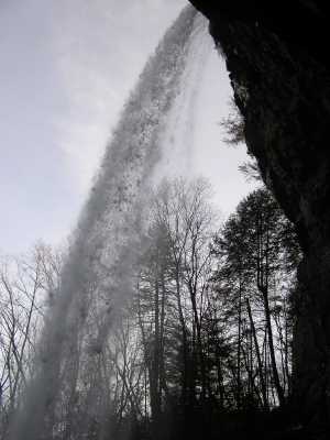
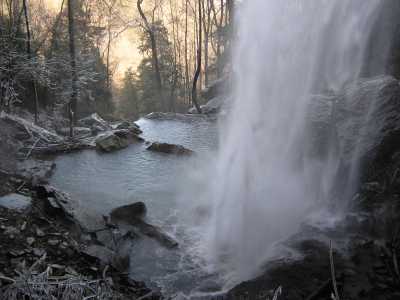
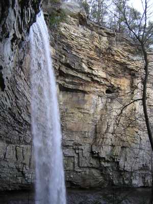
More pictures at
TNNA.
Several cascades further north in Pickett Gulf.
Tennessee landforms
home
arches
waterfalls
rocks
peaks
balds
sinks
lakes
regions
county
GSMNP landforms (TN/NC)
BSF landforms (TN/KY)
or nearby
lookout towers
Chuck Sutherland's www.tnlandforms.com the future (2024)
 ©
Tom Dunigan
©
Tom Dunigan