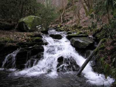

the lower falls and upper cascade.
| WGS84 | |
| 35.587180 | -83.779980 |
| 35° 35.231'N | 83° 46.799'W |
| 35° 35' 13.9"N | 83° 46' 47.9"W |
| 17S 248116E 3941720N | |
| convert to NAD27 | |
MAPS
Select one of the following maps to display this waypoint (WGS84).
GPS
Remarks:
Several cascades/falls are located along Rowans Creek. off-trail. The waypoint is for the lower falls, another cascade is 300 yds. further upstream at 35.5855 -83.7788, and another obstructed falls is at 3160'.
the lower falls and upper cascade.