Tennessee Landforms -- waterfalls| WGS84 |
| 35.566034 | -85.149792 |
| 35° 33.962'N | 85° 8.988'W |
| 35° 33' 57.7"N | 85° 8' 59.3"W |
| 16S 667673E 3937392N |
| convert to NAD27 |
Yeargan Falls 35'
Waypoint: BLF006 35.566034,-85.149792
County: Bledsoe landforms of Bledsoe county
Locale: private
popup list of
nearby landforms (mileage, bearing)
MAPS
Select one of the following maps to display this waypoint (WGS84).
GPS
Remarks:
Reference and photos: Ronnie Phipps
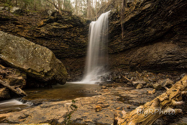
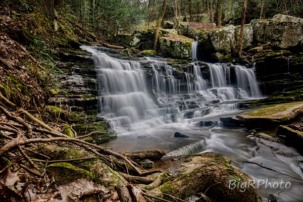 upper falls
Tennessee landforms
home
arches
waterfalls
rocks
peaks
balds
sinks
lakes
regions
county
GSMNP landforms (TN/NC)
BSF landforms (TN/KY)
or nearby
lookout towers
Chuck Sutherland's www.tnlandforms.com the future (2024)
 ©
Tom Dunigan
©
Tom Dunigan